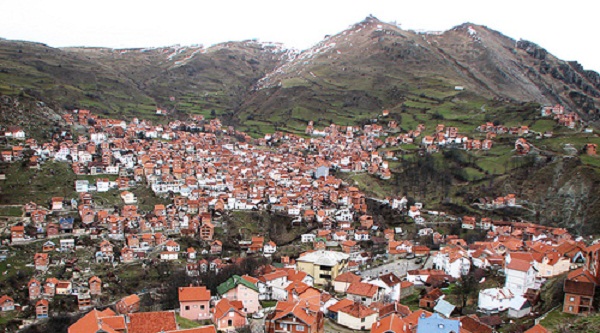
Municipality: Sharri (Dragash)
Sharri (Dragash)
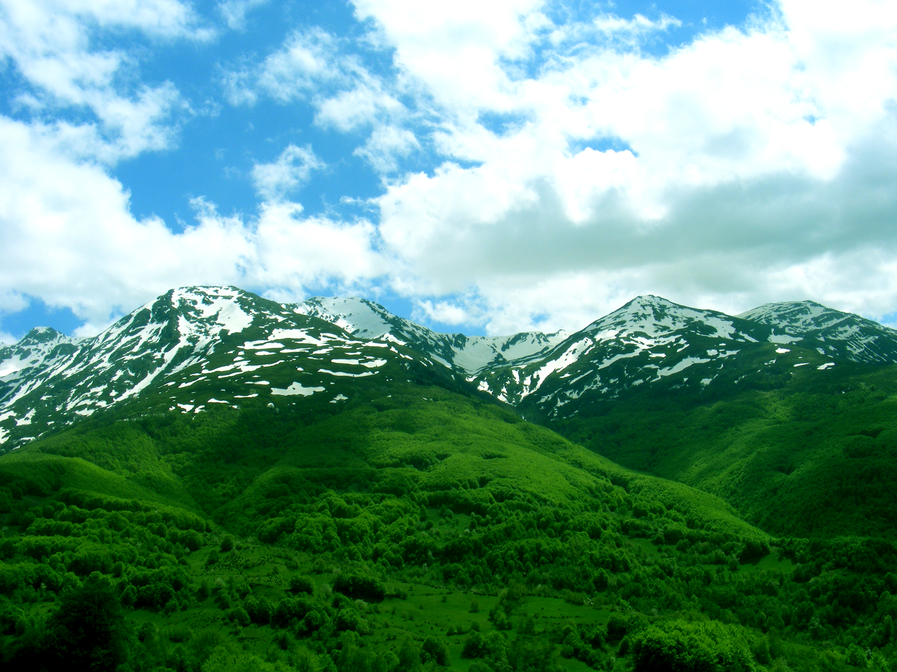
Altitude: 944m – over 2000m
Location: South part of Kosovo
Area: 434 km²
Population: 34.410 (date: 31/12/2012)
Distance: Prizreni – 37 km , Prishtina – 114 km
Surrounded by:
North-West: Prizren
South-East and East: Macedonia
West and South-West: Albania
Ethnicities: 70% Kosovars dhe 30% bosnians/gorans.
Villages:
Baçka, Blaçi, Bresana (Brodo-sana), Brezna, Brodi, Brruti, Buçja, Buzezi, Dikanca, Gostili (Bello-bradi), Kapa, Kersteci, Krushja (Krusheva), Kuki, Kukajani, Kukli-begu, Leshtani, Lubovishta, Mlika, Orçusha, Pllajniku, Plava, Radesha, Rapça, Restelica, Rrenci, Shajna, Ulina (Kosava), Vranishta, Xërxa, Zaplluxhja, Zgatari, Zllipotoku, Zymi.
With all that fear, it’s much easier to stay at home in our comfort
zones than to break out and travel.

“Map with villages”

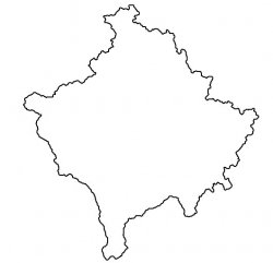
“Kosovo map with municipalities”
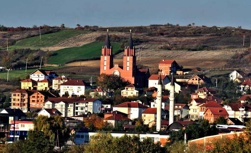
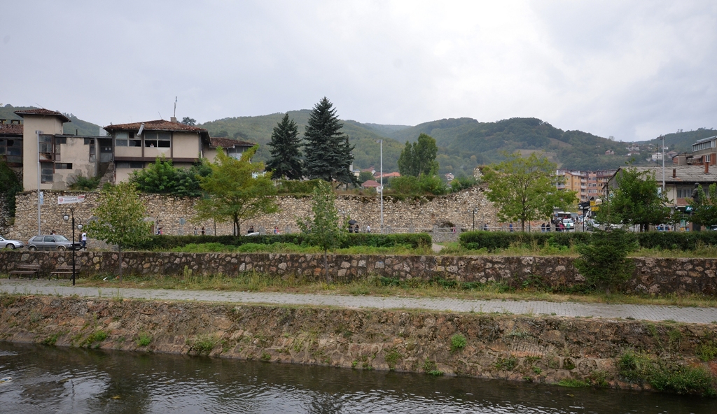
Places to visit in this municipality
Location on google map
post a comment
You must be logged in to post a comment.